
This Shanghai city walk follows Jiuzi Park → Zhapu Road Bridge → Rowing Club exterior → Waibaidu Bridge → The Bund. It is a neighborhood outing with time to notice streets, stop for food and change the plan, rather than a full-city sightseeing checklist. Allow 3–4 hours with photographs and a break. A riverside urban walk with road crossings and ramp or stair choices near bridges.
The creek-to-Bund line gives the city-wide keyword a distinct riverside purpose while the Former French Concession guide remains the detailed street-architecture walk.
We would keep one proper seated break and decide on optional interiors only after checking energy and current entry conditions. The route was developed from an October 12, 2026 review of local walking material and the reference sources below; it is an editorial plan, not a claim that we personally walked every segment.
Where does the walk start and finish?
| Decision | Plan |
|---|---|
| Start | Jiuzi Park / 九子公园; use Xinzha Road station as an arrival point |
| Finish | Nanjing East Road station / 南京东路站 after the Bund |
| Time allowance | 3–4 hours with photographs and a break |
| Walking load | A riverside urban walk with road crossings and ramp or stair choices near bridges. |
| Main route | Jiuzi Park → Zhapu Road Bridge → Rowing Club exterior → Waibaidu Bridge → The Bund |
Save the Chinese names before setting out. Use a current pedestrian map for each connection: a route diagram shows the stop order, not every crossing, accessible entrance or temporary diversion. Exact distance varies with the entrances, lane choices and optional visits you select.
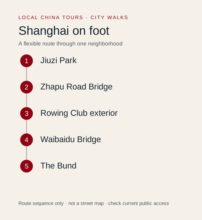 Original Local China Tours planning diagram. Route sequence and allowances are editorial guidance; use a current map for street navigation.
How should you follow the route?
1. Begin at Jiuzi Park / 九子公园
Use the park as the western anchor of the selected south-bank stretch. The official tourism route describes roughly three kilometers from here to Waibaidu Bridge; extra wandering and the Bund extension add to that. Start by checking which side of the creek you are on. There is no benefit in crossing every photogenic bridge if your main goal is an easy eastbound walk.
Next connection: Follow the available south-bank path east. At breaks in the promenade, use the signed public sidewalk and controlled crossings.
2. Pause near Zhapu Road Bridge / 乍浦路桥
This is the place to compare the creek, bridge lines and the larger city skyline. A small change of position can improve the view without a long diversion. Keep the pedestrian route clear and stay off the carriageway. Photos from the other bank are a different viewpoint, so cross only if you have energy for the additional junctions and want that specific perspective.
Next connection: Continue east on the south bank toward the former rowing-club site; do not navigate to a similarly named venue elsewhere.
3. Look at the former rowing-club exterior
Treat the former Shanghai Rowing Association buildings as an architectural pause beside the creek. Exterior viewing suits a flexible walk; a restaurant, exhibit or private event inside is a separate decision. We would keep the attention on the changing waterfront use rather than promise access to a particular room. Nearby seating, cafe availability and construction can change, so retain a backup stop.
Next connection: Stay eastbound toward Waibaidu Bridge / 外白渡桥 and the meeting of the creek and Huangpu River.
4. Turn from Waibaidu Bridge onto the Bund / 外滩
The bridge is the route hinge, not a requirement to cross to Hongkou. From the southern approach, continue south toward the Bund promenade for the broad river view and historic building frontage. Stop after a satisfying section rather than walking the entire waterfront. Sunset can be attractive but also draws crowds; your return route and a meal matter more than one exact light-show moment.
Next connection: Leave the river toward Nanjing East Road for transport, or arrange a pickup on a legal street outside crowded waterfront edges.
What is the shorter version?
Start by Zhapu Road Bridge, stay on the south bank to Waibaidu Bridge, then turn south onto a short Bund promenade section.
Choose this version at the start if you have luggage, a tight departure time or limited walking tolerance. A shorter route with a meal and a good street section is still a complete outing. If mobility access matters, confirm individual paths and entrances; this guide does not certify a step-free route.
Where should you stop for food and a rest?
Take a seated coffee or lunch break before the busiest Bund section. Choose a venue by its actual entrance on your bank of the creek; a pin across the water requires a bridge crossing. Nanjing East Road adds convenient food options after the walk, but it need not become a second long shopping outing.
Plan the break before the longest or most exposed section. Take drinking water, comfortable shoes and the weather protection you need. Before ordering, confirm the current menu and any minimum spend; the basic walk does not require buying a tour, booking a terrace or entering a particular cafe.
What should you leave for another outing?
Do not walk to the city of Suzhou: Suzhou Creek is in Shanghai. Wukang Road and Lujiazui are separate neighborhoods reached by transport.
Optional ticketed interiors, boats and performances need their own current rules and time allowances. Public street access does not establish access to the building beside it. If heavy rain, heat, local works or crowd controls interrupt a segment, use the open public alternative, shorten the walk or take a legal transfer.
How can you walk respectfully?
Stay on public streets and signed paths. Keep doors, market aisles, stairs and narrow bridges clear, ask before photographing people closely, and do not enter residential courtyards or rooftops for a view. A popular photograph is not evidence that a space is open to visitors. Keep the final pickup on a road a vehicle can legally reach.
Where does this fit in a longer trip?
- Shanghai French Concession Walking Guide adds a separate planning option; choose it according to your remaining time.
- Shanghai at Night: Three Practical Evening Routes adds a separate planning option; choose it according to your remaining time.
- Shanghai 1 Day Itinerary adds a separate planning option; choose it according to your remaining time.
Use the Shanghai destination guide to place this walk in your wider stay. For help adjusting the route to your interests or mobility needs, use plan your trip and describe your preferred pace.
Sources and route review
Local walking material reviewed on October 12, 2026 informed the route choices and practical questions. Social descriptions can include advertising, outdated details and overambitious itineraries; they do not establish current prices, opening hours, access or accessibility. The stop order and suggested allowances are our editorial decisions.
-
Shanghai official tourism: south-bank creek walk supplies geographic, cultural or access context. Historical notices are not a guarantee of current operation.
-
Shanghai official tourism: the Bund and its northern bridge boundary supports the waterfront connection.
Check current venue notices and on-site signs for optional interiors, crowd management and weather closures. The base walk stays on currently open public streets and paths.

