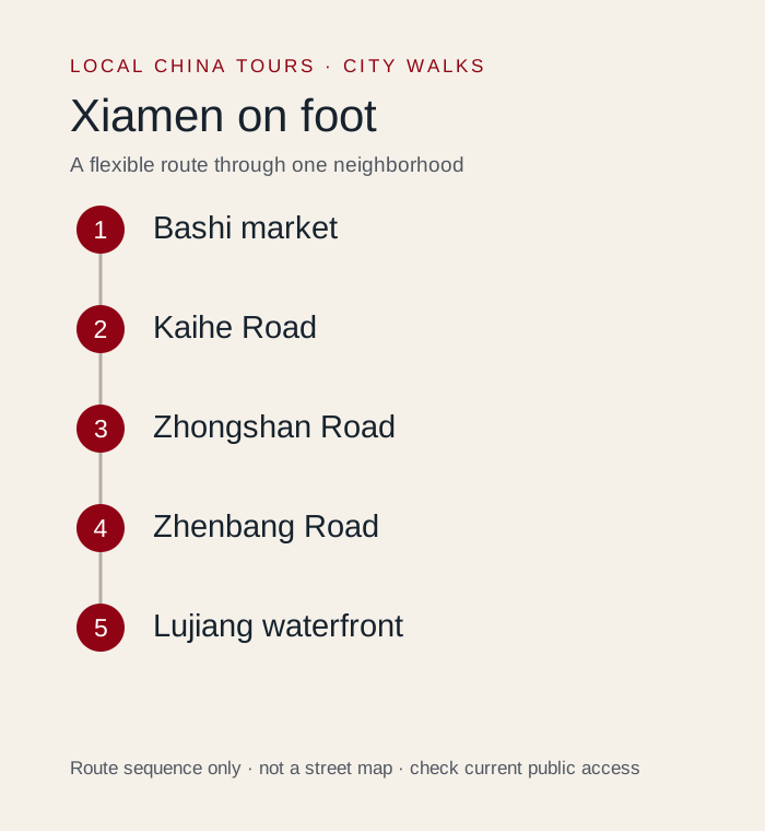
This Xiamen city walk follows Bashi market → Kaihe Road → Zhongshan Road → Zhenbang Road → Lujiang waterfront. It is a neighborhood outing with time to notice streets, stop for food and change the plan, rather than a full-city sightseeing checklist. Allow 3–4 hours with market browsing and lunch. Mostly city streets; wet market floors, uneven thresholds, busy crossings and exposed waterfront sections.
The research surfaced both old-city and coastal route families. This guide selects the market-to-waterfront line and treats Shapowei and Huandao Road as alternatives, not adjacent must-do stops.
We would keep one proper seated break and decide on optional interiors only after checking energy and current entry conditions. The route was developed from an October 12, 2026 review of local walking material and the reference sources below; it is an editorial plan, not a claim that we personally walked every segment.
Where does the walk start and finish?
| Decision | Plan |
|---|---|
| Start | Bashi / 第八市场; arrive near the market on a legal public street |
| Finish | Lujiang Road / 鹭江道, then a nearby legal pickup or mapped route toward Zhenhai Road station |
| Time allowance | 3–4 hours with market browsing and lunch |
| Walking load | Mostly city streets; wet market floors, uneven thresholds, busy crossings and exposed waterfront sections. |
| Main route | Bashi market → Kaihe Road → Zhongshan Road → Zhenbang Road → Lujiang waterfront |
Save the Chinese names before setting out. Use a current pedestrian map for each connection: a route diagram shows the stop order, not every crossing, accessible entrance or temporary diversion. Exact distance varies with the entrances, lane choices and optional visits you select.
How should you follow the route?
1. Begin at Bashi / 八市 or 第八市场
Start with the market lanes while your attention and appetite are fresh. Keep clear of stalls, carts and customers; this is not a pedestrian museum. The most useful detail may be an everyday transaction, a seafood display or a small cooked-food counter rather than a famous wall. Ask permission for close photographs. Wet floors and narrow passages make a slow pace sensible even for confident walkers.
Next connection: Leave toward Kaihe Road / 开禾路 and use public market streets to connect to Zhongshan Road.
2. Continue into Zhongshan Road / 中山路
The arcaded commercial street changes the setting from market activity to larger retail frontage. Walk a limited section and notice the upper-floor buildings as well as signs at eye level. Arcades offer intermittent shelter, but they do not make the whole route rainproof. If the street is crowded, use a parallel public connection rather than repeatedly squeezing through a popular photo corner.
Next connection: Turn toward the Zhenbang Road / 镇邦路 area and the waterfront end of the old city.
3. Use Zhenbang Road as a small-scale contrast / 镇邦路
Choose a short passage through the surrounding old streets instead of adding a second long shopping itinerary. The interest is in the relationship between arcades, residential access and small businesses. Some lanes feel quiet but still serve homes and deliveries. We would keep one seated meal here or nearby, then move toward the sea; a string of cafe stops often leaves no time for the waterfront.
Next connection: Navigate toward Lujiang Road / 鹭江道 and use controlled crossings to reach an open waterfront path.
4. Finish at the Lujiang waterfront / 鹭江道
The water and view toward Gulangyu give the outing a clear finish without boarding a ferry. Choose a modest open promenade section, then stop when wind, heat or tiredness makes continuing less enjoyable. Ferry terminals and routes have distinct purposes, so do not assume any visible pier is the correct departure point for an island visit. Keep that booking decision outside this basic walk.
Next connection: End at a legal pickup, or follow a live map to Zhenhai Road station rather than crossing terminal vehicle areas.
What is the shorter version?
Walk Bashi and a short Zhongshan Road section, then finish. Choose Shapowei as a separate compact outing if your priority is the former harbor atmosphere.
Choose this version at the start if you have luggage, a tight departure time or limited walking tolerance. A shorter route with a meal and a good street section is still a complete outing. If mobility access matters, confirm individual paths and entrances; this guide does not certify a step-free route.
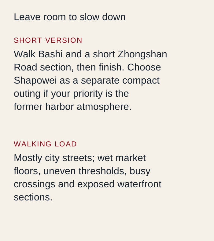 Original Local China Tours planning diagram. Route sequence and allowances are editorial guidance; use a current map for street navigation.
Where should you stop for food and a rest?
Bashi is a working market as well as a visitor food area. Separate looking at produce from choosing prepared food to eat. Confirm seafood price units, cooking charges and the final order before paying; avoid buying raw seafood merely because a social post recommends a stall. A simple noodle or cooked-snack stop keeps the plan easy.
Plan the break before the longest or most exposed section. Take drinking water, comfortable shoes and the weather protection you need. Before ordering, confirm the current menu and any minimum spend; the basic walk does not require buying a tour, booking a terrace or entering a particular cafe.
What should you leave for another outing?
Gulangyu requires a separate ferry plan. Shapowei is not the next market stall: use transport or allow a longer connecting walk instead of calling it a short extension.
Optional ticketed interiors, boats and performances need their own current rules and time allowances. Public street access does not establish access to the building beside it. If heavy rain, heat, local works or crowd controls interrupt a segment, use the open public alternative, shorten the walk or take a legal transfer.
How can you walk respectfully?
Stay on public streets and signed paths. Keep doors, market aisles, stairs and narrow bridges clear, ask before photographing people closely, and do not enter residential courtyards or rooftops for a view. A popular photograph is not evidence that a space is open to visitors. Keep the final pickup on a road a vehicle can legally reach.
Where does this fit in a longer trip?
- Best Day Trips from Xiamen for Islands and Minnan Culture adds a separate planning option; choose it according to your remaining time.
- China eSIM and Payment Setup Guide for Travelers adds a separate planning option; choose it according to your remaining time.
- Best Time to Visit China by Trip Style adds a separate planning option; choose it according to your remaining time.
Use the Xiamen destination guide to place this walk in your wider stay. For help adjusting the route to your interests or mobility needs, use plan your trip and describe your preferred pace.
Sources and route review
Local walking material reviewed on October 12, 2026 informed the route choices and practical questions. Social descriptions can include advertising, outdated details and overambitious itineraries; they do not establish current prices, opening hours, access or accessibility. The stop order and suggested allowances are our editorial decisions.
- Xinhua: Xiamen city routes linking Bashi, Zhongshan Road and Zhenbang Road supplies geographic, cultural or access context. Historical notices are not a guarantee of current operation.
Check current venue notices and on-site signs for optional interiors, crowd management and weather closures. The base walk stays on currently open public streets and paths.


