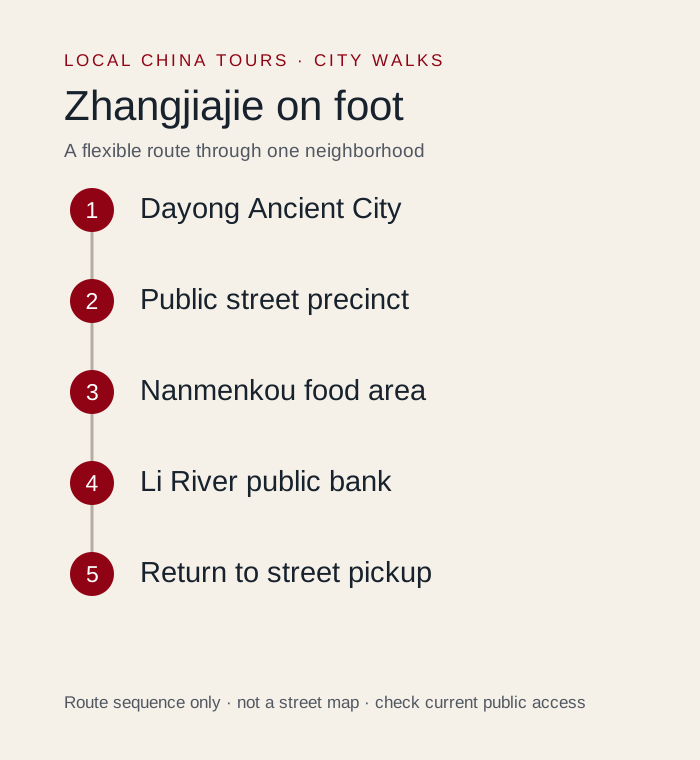
This Zhangjiajie city walk follows Dayong Ancient City → Public street precinct → Nanmenkou food area → Li River public bank → Return to street pickup. It is a neighborhood outing with time to notice streets, stop for food and change the plan, rather than a full-city sightseeing checklist. Allow 1.5–3 hours including a meal; a recovery walk rather than a full sightseeing day. Urban paving and possible river-access steps; water-level and construction controls can interrupt the shoreline.
Generic Zhangjiajie searches mostly returned mountain itineraries. A downtown supplementary search and current provincial sources provide the narrower basis for this recovery-and-food walk.
We would keep one proper seated break and decide on optional interiors only after checking energy and current entry conditions. The route was developed from an October 12, 2026 review of local walking material and the reference sources below; it is an editorial plan, not a claim that we personally walked every segment.
Where does the walk start and finish?
| Decision | Plan |
|---|---|
| Start | Dayong Ancient City / 大庸古城 in Yongding district |
| Finish | Nanmenkou / 南门口 or an accessible street near the same downtown precinct |
| Time allowance | 1.5–3 hours including a meal; a recovery walk rather than a full sightseeing day |
| Walking load | Urban paving and possible river-access steps; water-level and construction controls can interrupt the shoreline. |
| Main route | Dayong Ancient City → Public street precinct → Nanmenkou food area → Li River public bank → Return to street pickup |
Save the Chinese names before setting out. Use a current pedestrian map for each connection: a route diagram shows the stop order, not every crossing, accessible entrance or temporary diversion. Exact distance varies with the entrances, lane choices and optional visits you select.
How should you follow the route?
1. Start at Dayong Ancient City / 大庸古城
Use the Yongding downtown location, not a hotel or scenic gate in Wulingyuan. Hunan’s tourism department reported the precinct’s renewed public opening in July 2026. It is a cultural and commercial redevelopment connected with the former city area, so do not describe all its buildings as untouched ancient structures. Begin with the currently open public streets and read any venue-specific admission signs.
Next connection: Stay within the signed public precinct. The exact entrances and tenant layout can change after a redevelopment reopening.
2. Browse a limited public street section
This is a modest recovery outing between larger mountain visits. Look at the street setting, local signage and commercial activity without expecting another major natural attraction. A cafe, exhibit or performance should be selected for its current offer and terms. We would not build the walk around a scheduled show without a confirmed listing, especially if the group has just returned tired from the mountains.
Next connection: Continue toward the nearby Nanmenkou / 南门口 food area on an open public street.
3. Sit down around Nanmenkou / 南门口
The supplementary social results repeatedly located meals around Nanmenkou, but they were not a neutral restaurant survey. Choose from current menus and a venue that suits your group, rather than treating promotional claims or past prices as verified facts. A meal can be the main purpose of this short walk. It is perfectly reasonable to finish here when legs or weather do not favor more walking.
Next connection: If you still want a water view, check the nearest currently open public access to the Li River / 澧水.
4. Add a small riverfront section only if open / 澧水
The local river name is 澧水, often written Li River or Lishui River; this is not Guilin’s 漓江. Use an open public bank near the downtown precinct and turn back before an unclear connection. A 2026 river-engineering notice is a reason to check barriers and local access, not proof that a full promenade is available. Do not promise a continuous river circuit or a boat service from this article.
Next connection: Return to the street-level Nanmenkou or Dayong area for a legal pickup. Skip the shoreline in high water, closures or poor weather.
What is the shorter version?
Stay within the currently open public Dayong street precinct, have a seated meal around Nanmenkou and leave. The riverside section is optional.
Choose this version at the start if you have luggage, a tight departure time or limited walking tolerance. A shorter route with a meal and a good street section is still a complete outing. If mobility access matters, confirm individual paths and entrances; this guide does not certify a step-free route.
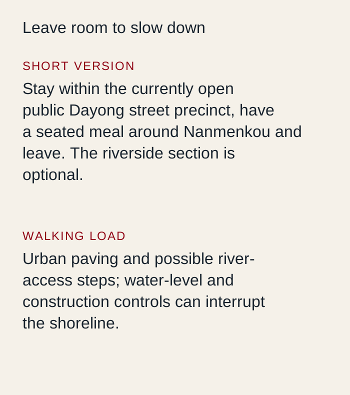 Original Local China Tours planning diagram. Route sequence and allowances are editorial guidance; use a current map for street navigation.
Where should you stop for food and a rest?
Choose a straightforward cooked Hunan meal around Nanmenkou, asking about chili and the full menu price. The supplementary social sample was mainly restaurant-oriented and sometimes promotional, so it supports the area as a food lead rather than a verified ranking of individual businesses.
Plan the break before the longest or most exposed section. Take drinking water, comfortable shoes and the weather protection you need. Before ordering, confirm the current menu and any minimum spend; the basic walk does not require buying a tour, booking a terrace or entering a particular cafe.
What should you leave for another outing?
Wulingyuan’s forest park, Tianmen Mountain and the Grand Canyon are different destinations. Do not label their mountain paths or ticketed scenic routes as this downtown city walk.
Optional ticketed interiors, boats and performances need their own current rules and time allowances. Public street access does not establish access to the building beside it. If heavy rain, heat, local works or crowd controls interrupt a segment, use the open public alternative, shorten the walk or take a legal transfer.
How can you walk respectfully?
Stay on public streets and signed paths. Keep doors, market aisles, stairs and narrow bridges clear, ask before photographing people closely, and do not enter residential courtyards or rooftops for a view. A popular photograph is not evidence that a space is open to visitors. Keep the final pickup on a road a vehicle can legally reach.
Where does this fit in a longer trip?
- Zhangjiajie National Forest Park Guide: 3-Day Route adds a separate planning option; choose it according to your remaining time.
- Day Trips in Zhangjiajie: Wulingyuan, Tianmen Mountain, or the Glass Bridge adds a separate planning option; choose it according to your remaining time.
- Zhangjiajie Bars: 3 Wulingyuan Options After the Park adds a separate planning option; choose it according to your remaining time.
Use the Zhangjiajie destination guide to place this walk in your wider stay. For help adjusting the route to your interests or mobility needs, use plan your trip and describe your preferred pace.
Sources and route review
Local walking material reviewed on October 12, 2026 informed the route choices and practical questions. Social descriptions can include advertising, outdated details and overambitious itineraries; they do not establish current prices, opening hours, access or accessibility. The stop order and suggested allowances are our editorial decisions.
- Hunan tourism department: Dayong’s July 2026 reopening supplies geographic, cultural or access context. Historical notices are not a guarantee of current operation.
- Hunan water authority: work in the Nanmenkou river section supplies geographic, cultural or access context. Historical notices are not a guarantee of current operation.
Check current venue notices and on-site signs for optional interiors, crowd management and weather closures. The base walk stays on currently open public streets and paths.

