The most important choice on a Chongqing walking route is direction. Recent local route reports consistently recommend entering Xiahaoli from the upper Shangxinjie side, descending through old lanes toward Longmenhao and the river, then using transport or an elevator to regain height. Reversing the route turns a scenic walk into a staircase workout.
Which Chinese map words should you save?
| Map search | Use it for | Check before continuing |
|---|---|---|
| 上新街站1号口 / Shangxinjie Exit 1 | The usual station-side approach to Xiahaoli | Signs and the accessible exit actually open that day |
| 下浩里1号出入口 / Xiahaoli Entrance 1 | The upper-side starting point | That the route runs downhill rather than immediately back up |
| 下浩里3号出入口 / Xiahaoli Entrance 3 | A lower finish in the published route | The connection wanted after leaving the lanes |
| 龙门浩老街 / Longmenhao Old Street | The optional neighboring old-street area | Energy, opening access and the eventual pickup location |
Amap’s entrance listing places Xiahaoli Entrance 1 near Shangxinjie Exit 1. The local publisher’s documented walking route runs from that upper approach toward Entrance 3. It is a route reference, not a guarantee that construction, queues or every business remain unchanged.
Before descending, save the planned finish and a legal vehicle pickup point on the road you intend to use. If taking rail back, check whether the climb to the station is acceptable; if not, agree a lower-level pickup instead. Do not ask a driver to meet at a photo pin inside pedestrian stairs.
For a shorter walk, use the first comfortable viewpoint and rest stop as the endpoint, then return by a connection the group can manage. For a longer walk, add Longmenhao only after checking the remaining stamina and return journey. A café or riverside stop is optional; it should not make the family miss a booked train or require climbing the entire route again.
Route at a glance
| Stage | What to expect | Time |
|---|---|---|
| Shangxinjie arrival | Confirm the correct exit and upper level | 15 minutes |
| Xiahaoli descent | Brick lanes, views, steps, restored spaces | 60 to 90 minutes |
| Longmenhao | Old-street sections and river outlooks | 45 to 60 minutes |
| River finish | Sunset, bridge views, food or transport | 30 to 60 minutes |
Allow two to three hours, or longer for a meal and sunset. Wear shoes with grip.
Start high at Shangxinjie
Use the station exit recommended for the upper entrance; local route notes commonly point travelers toward Exit 1, but construction and access can change, so verify on the day. Pause before descending and orient yourself to the river level.
The first rule is simple: do not follow a map instruction that asks you to drop down and climb back up for one photo pin. Keep the overall direction downward.
Descend through Xiahaoli
Xiahaoli combines old brick walls, steep lanes, framed skyline views, restored storefronts, and residential traces. It is popular, so early morning gives a quieter route while late afternoon gives better transition into evening light.
Spend time on the turns between marked viewpoints. The district’s value comes from how old lanes reveal bridges and towers, not from one mandatory photo wall. Keep voices low around residential edges.
Continue to Longmenhao and the river
Longmenhao extends the old-street atmosphere and opens wider views. Choose one cafe, snack, or rest point rather than stopping at every promoted shop. As the route reaches the lower level, decide whether to remain for sunset or exit before the evening crowd.
Use a taxi, metro, or public vertical connection for the return. The transport back up is part of the route design, not a failure to complete the walk.
Rain, heat, and crowd strategy
Avoid the route in heavy rain. Stone and brick steps can become slippery, and fog may remove the view. In summer, start early or after the strongest heat. Carry water but keep the bag light.
Families should shorten the route and avoid strollers. Travelers with knee or balance concerns should choose a partial lower-area walk or a guide-supported route with vehicle pickups.
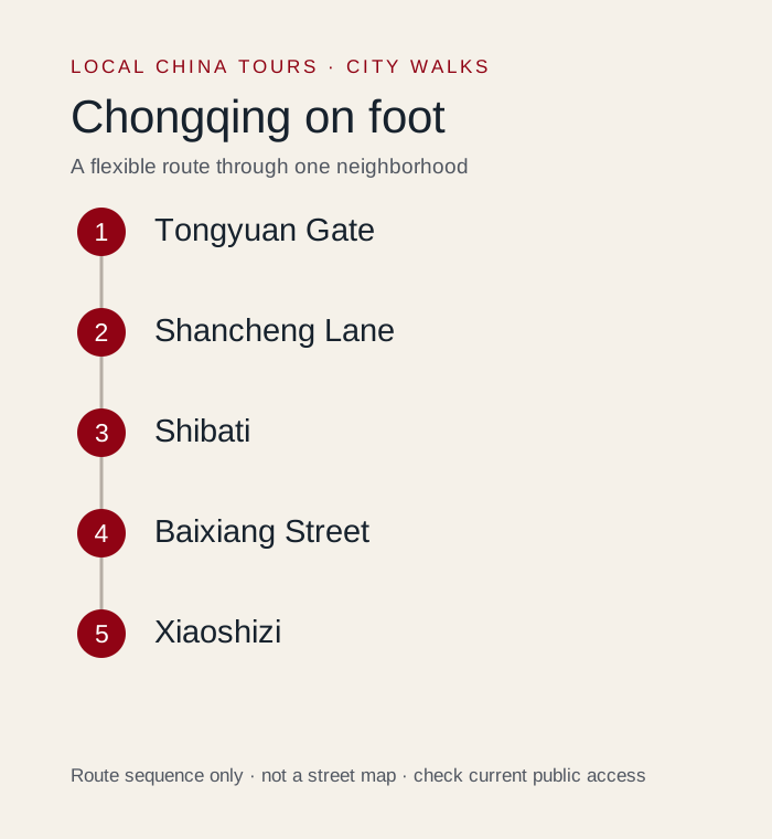
Alternative downhill walk: Mountain City Trail to Shibati
For a central-peninsula route, start high on Mountain City Trail and work down toward Shibati. Do not combine the full version with Xiahaoli on the same day unless the group actively wants a long stair-focused walk.
Use how to get around Chongqing to plan levels and exits. For local context and a route matched to mobility, see the Chongqing private tour guide service.